What is the best way to make the most of one day in arguably the most beautiful national park in the United States? I want to share with you a day hike that will give you literally weeks worth of Instagram-worthy material that you can complete by sunset.
Mileage: Approximately 13.7 (but it’s honestly probably a little bit more)
Time: It took us around 10 hours to complete, which included breaks and photo stops
Route: Happy Isles Trailhead > Mist Trail > Panorama Trail > 4-Mile Trail
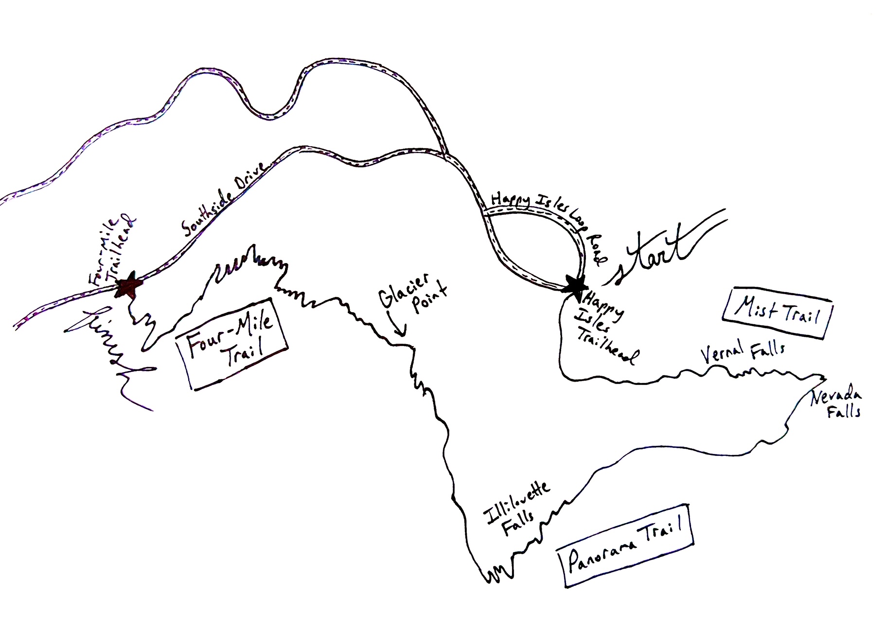
WHAT ROUTE IS BEST?
A lot of the internet will suggest that you begin with the four-mile trail. Having done the four-mile trail in the past, we decided that we did not want to endure that again. Please note that, while the four-mile trail does get you to Glacier Point quicker, this also means that the route is significantly more steep. It’s a brutal uphill trail. We suggest starting with the Mist Trail. It’s still a difficult and exhausting day hike, but at least you get to go down the four-mile trail and not up!
A NOTE ON LIGHTING
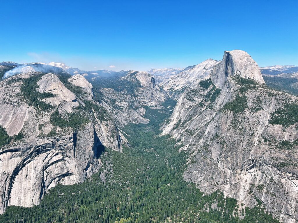
I would like to note that Glacier Point looks the best AFTER mid-day. When the sun is still behind Half Dome after sunrise, it washes out the entire view. If you start with the Mist Trail, this will put you arriving at Glacier Point towards the latter part of the day (maybe around 2-3pm if you start around 7am) which will mean better lighting than if you get to Glacier Point earlier in the morning. Also, the crowds are less insane in the afternoon (still crowded, but a little less!)
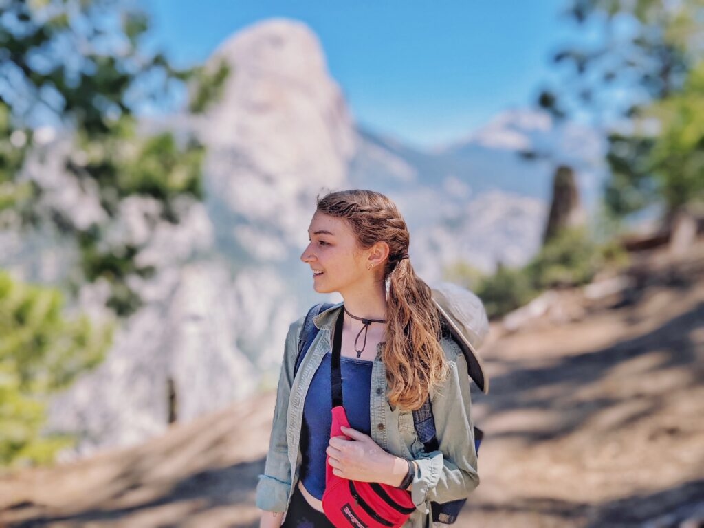
packing list
this is just what we brought, think about your own specific needs when packing
–poncho (if hiking when the falls are heavy)
–waterproof shoes (I brought Chacos. Erica’s boots were waterproof, so she was fine)
–2 full Nalgene bottles (during seasons where the amenities are closed at Glacier Point, we would advise bringing more).
–1 gatorade
–enough food for snacks along the way and lunch (bring more than you think you need)
–lots of sunscreen
–bug spray
–hat
–sunglasses
–toliet paper (you will need it)
–something to play music. This is important to alert bears of your existence. Often, we are too tired to keep up conversation on the trail, so it’s nice to have the option to play music in more remote areas of the hike. We turn this off when passing other hikers though.
–layers!!! This is very important. We often wear a base layer of a cropped tank top with a shirt and then a jacket. This way, you can slowly take off layers as you get outside of the tree line and the day grows warmer
–extra socks
–All Trails App. Highly recommend. There are normally a few times on a trail where we question if we are on the right path, and it is always good to have a map to reference.
first stretch: getting drenched on vernal falls (the mist trail)
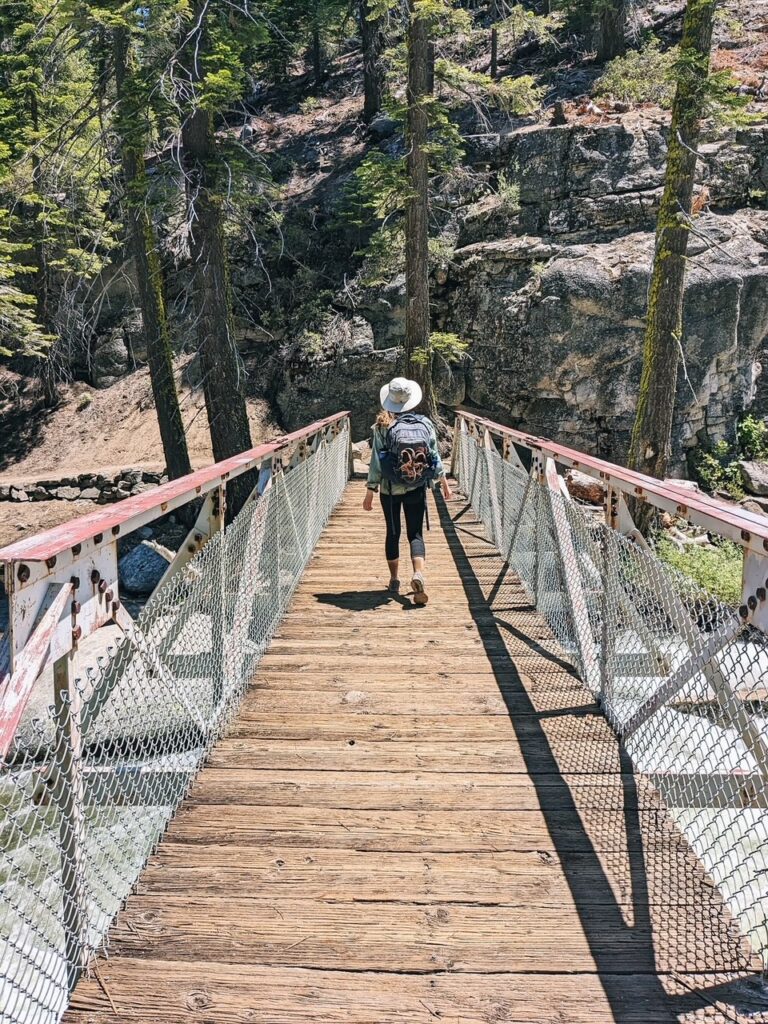
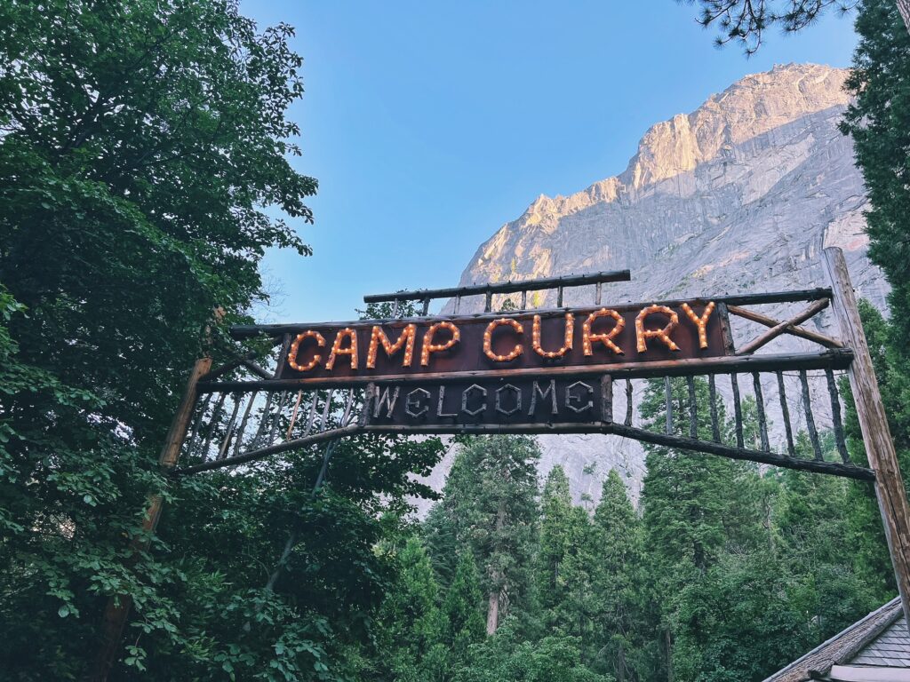
You will start this day hike at Happy Isles Trailhead. Erica and I decided to park at Camp Curry and then walk from there to the Happy Isles trailhead (about 1.5 miles from the parking lot at Curry Village). We arrived at the lot at around 7:15am on a Saturday, and it was already mostly full (please keep in mind that this was in July which is peak season). After reaching the trailhead, you will begin your hike up to Vernal Falls. This is a beautiful stretch, but it is heavily inclined. The good part is that it is short! You will reach the Vernal Falls footbridge which is a good spot to stop for a moment to take in the scenery. There’s a restroom past the bridge as well. After this, the fun begins. At this point (if you are visiting when the waterfalls are in full-force), you will want to grab your poncho and waterproof shoes (if your hiking boots are not water resistent). You are about to get soaked. Be careful climbing up the stairs at Vernal Falls. It can be very slick. If you are going to take photos, I would advise that you stop (if no one is waiting behind you) and be extremely careful. Be mindful of others as well. Once you finish on the stairs, you are not done yet as there is a pretty steep incline to get to the top of the Falls. You will probably be miserably wet at this point.
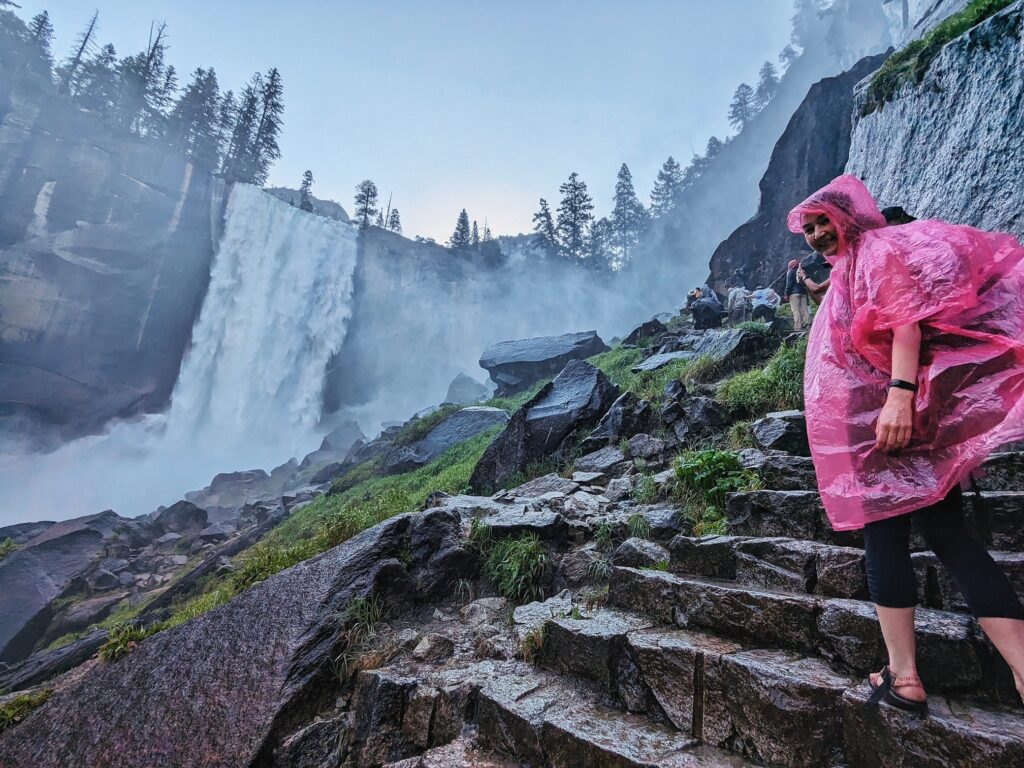
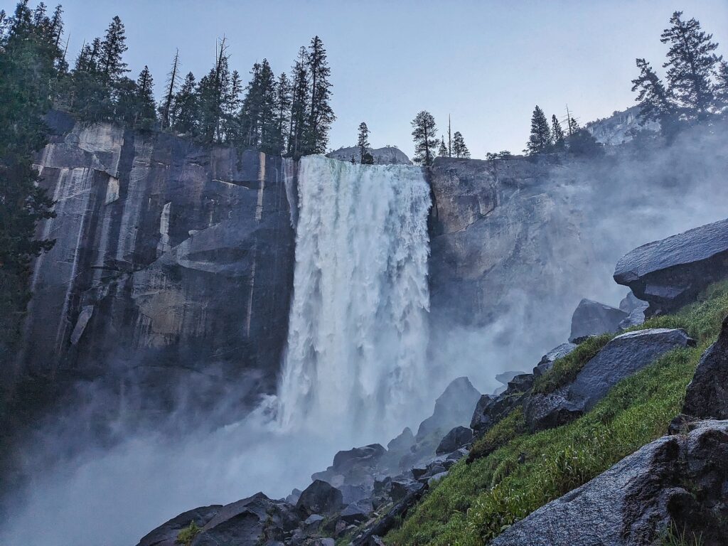
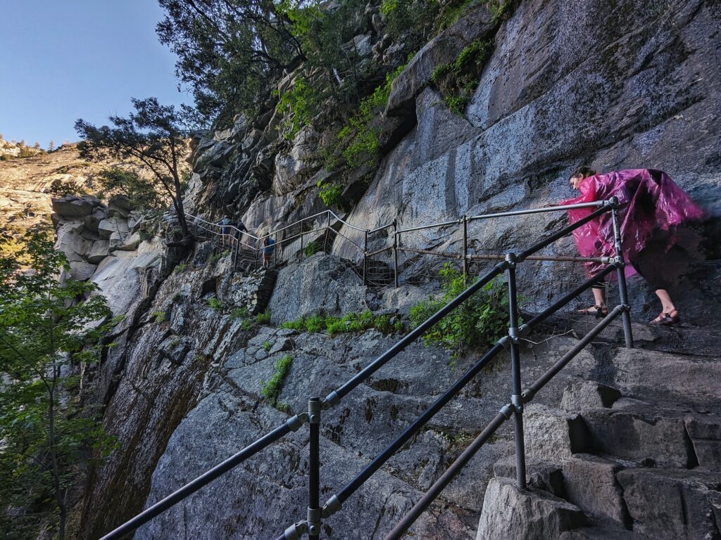
The top of Vernal Falls is a nice time to take your first break. Erica and I sat and dried ourselves off and enjoyed a snack and some water. There is a restroom at the top of Vernal Falls, so take advantage of that if you need. You can get a view from the top of the falls, but do not get in the water. It is extremely dangerous. After we snapped some photos, we headed to the next stop: Nevada Falls.
second stretch: up to nevada falls (the mist trail)
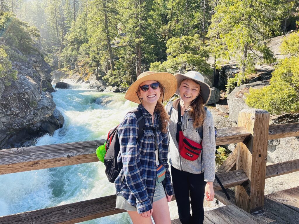
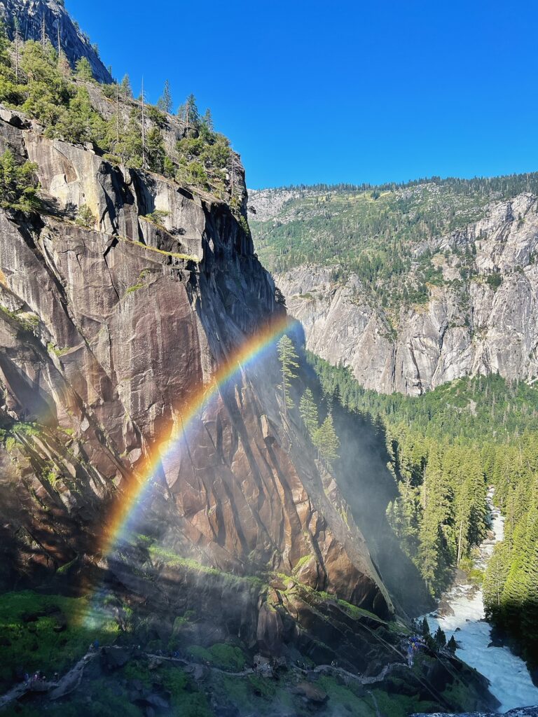
The hike up Nevada Falls was much steeper than I originally imagined that it would be. There’s some switchback action and great photo spots along the way. Once you get to the top, you can look over the edge of the waterfall (carefully) and take in the views. Once we reached this point, we took another opportunity to rest as we knew that the next 5 miles before the top of Glacier Point would be brutal and hot. Note that there is a restroom at the top of Nevada Falls, and it will be the last until Glacier Point.
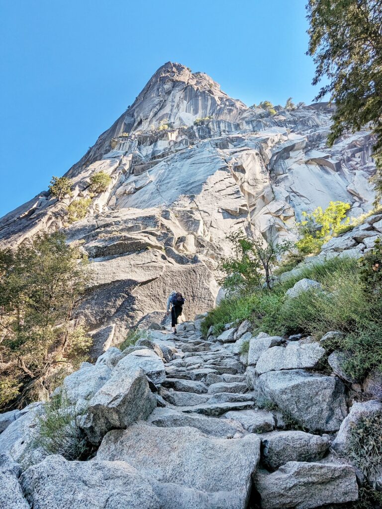
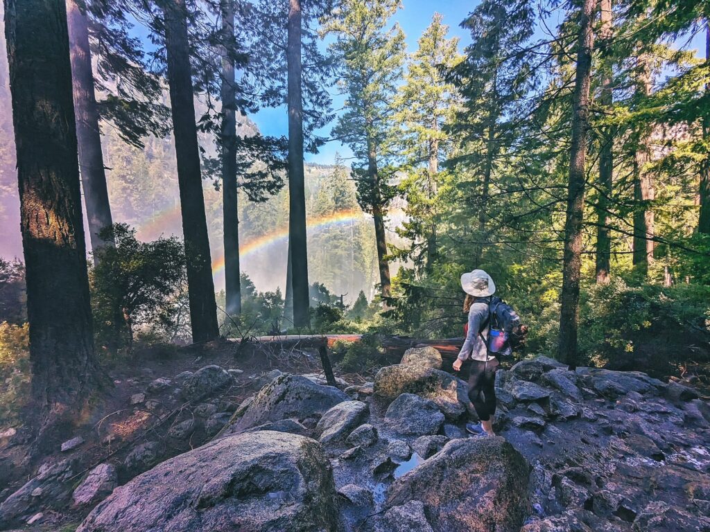
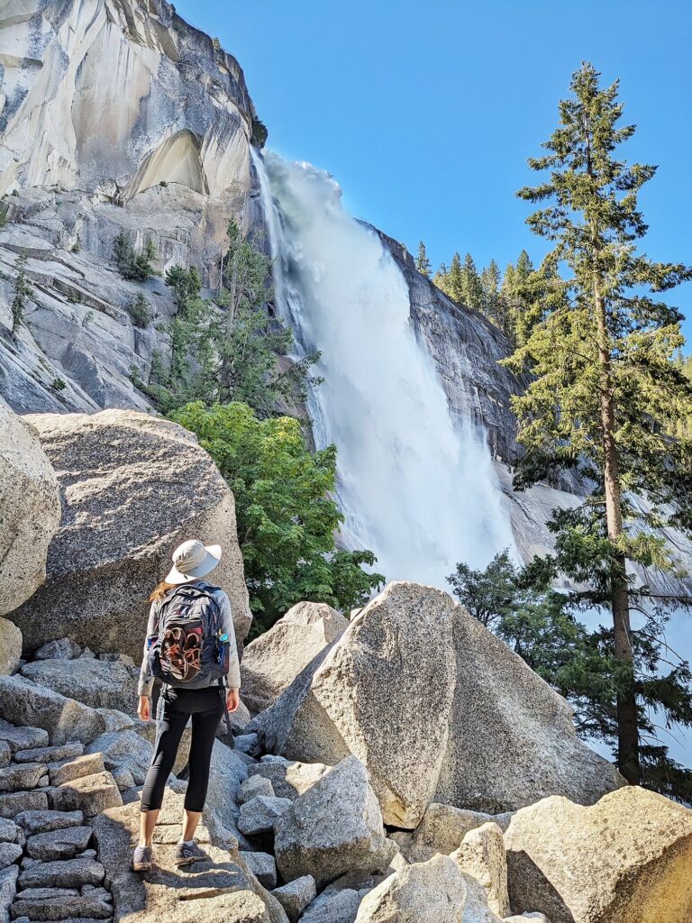
third stretch: onward to illilouette falls (the panorama trail)
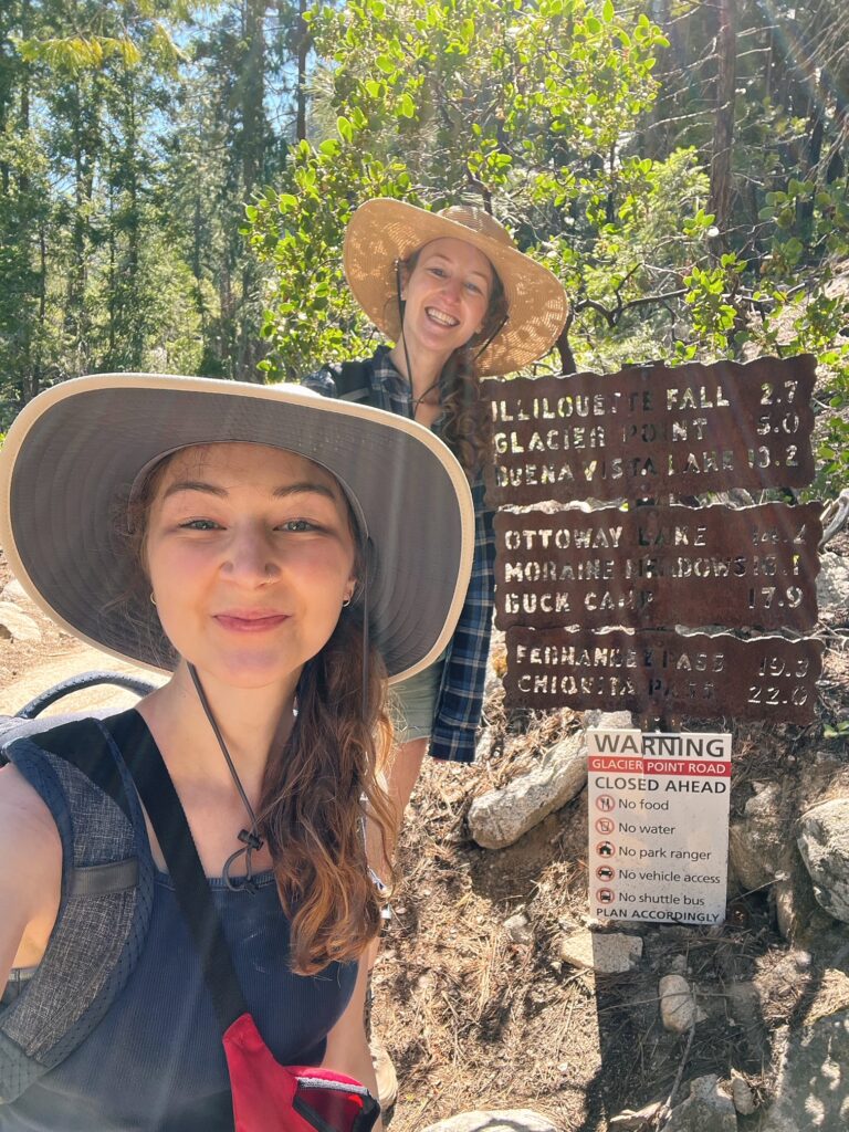
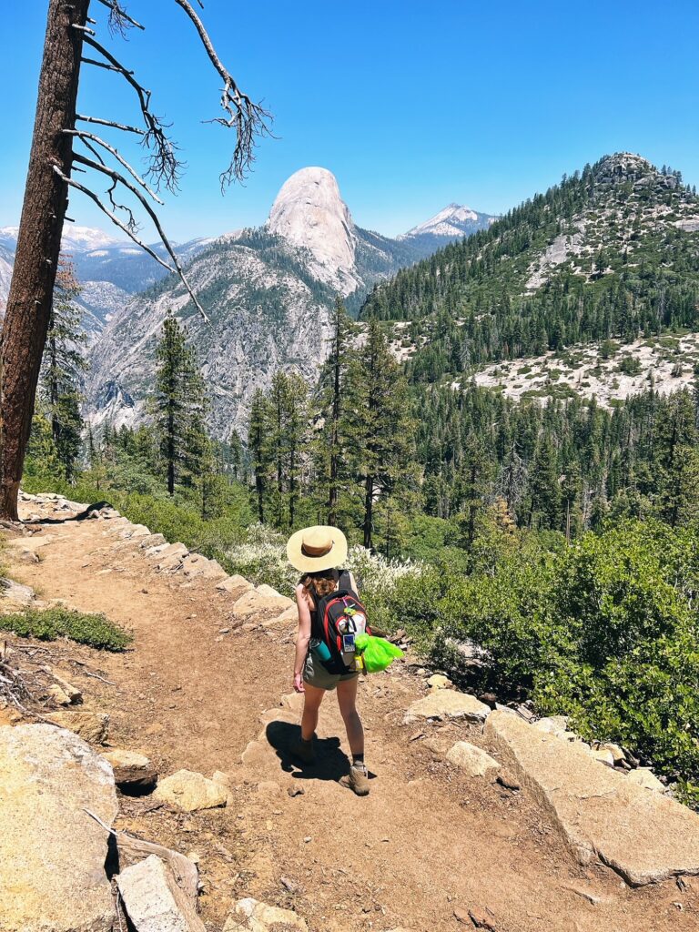
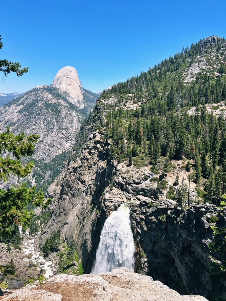
Not going to lie, the first part of the Panorama Trail after we passed Nevada Falls was brutal especially considering the fact that we had gained so much elevation during the first part of the hike. Don’t worry though! This next section (between Nevada Falls to Ilillouette Falls) does have a downhill section which will provide some rest. But before you hit that downhill point, you will deal with a few rough switchbacks. Once we reached the Illilouette River, it was around midday. we took time to finally eat lunch right past the Illilouette Creek bridge. We definitely started feeling the heat and had to reapply sunscreen and take off our last layers. We made sure to get in a lot of liquids at this stop as the next section would not have a lot of tree coverage. Honestly, I was dreading the last few miles because I was worried about the elevation change. Thankfully, it was not as brutal as I was expected. Don’t get me wrong, it was HOT. It was not the most pleasurable time, but I was not absolutely dying for the last miles, so that was a relief! Luckily we had the beauty of Half Dome to entertain us during this last stretch.
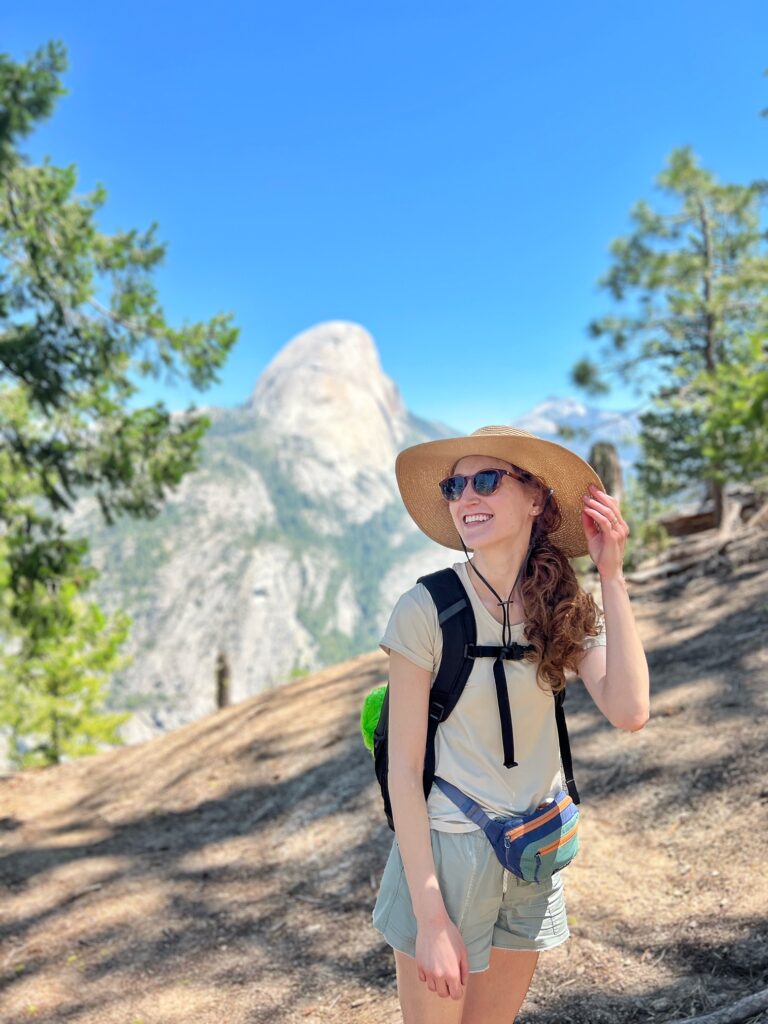
the peak: glacier point
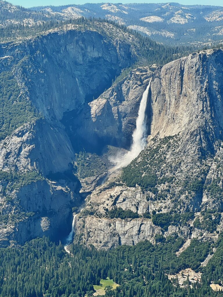
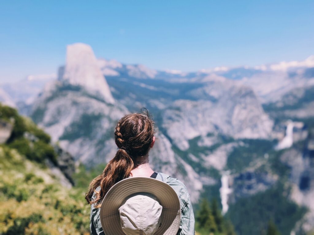
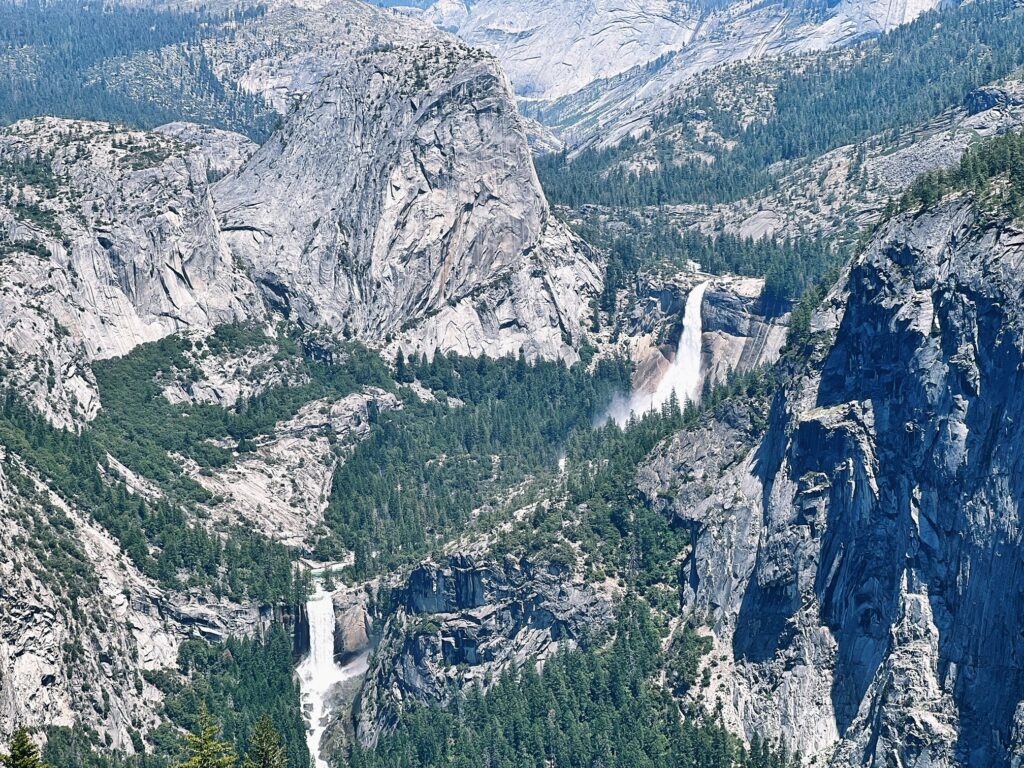
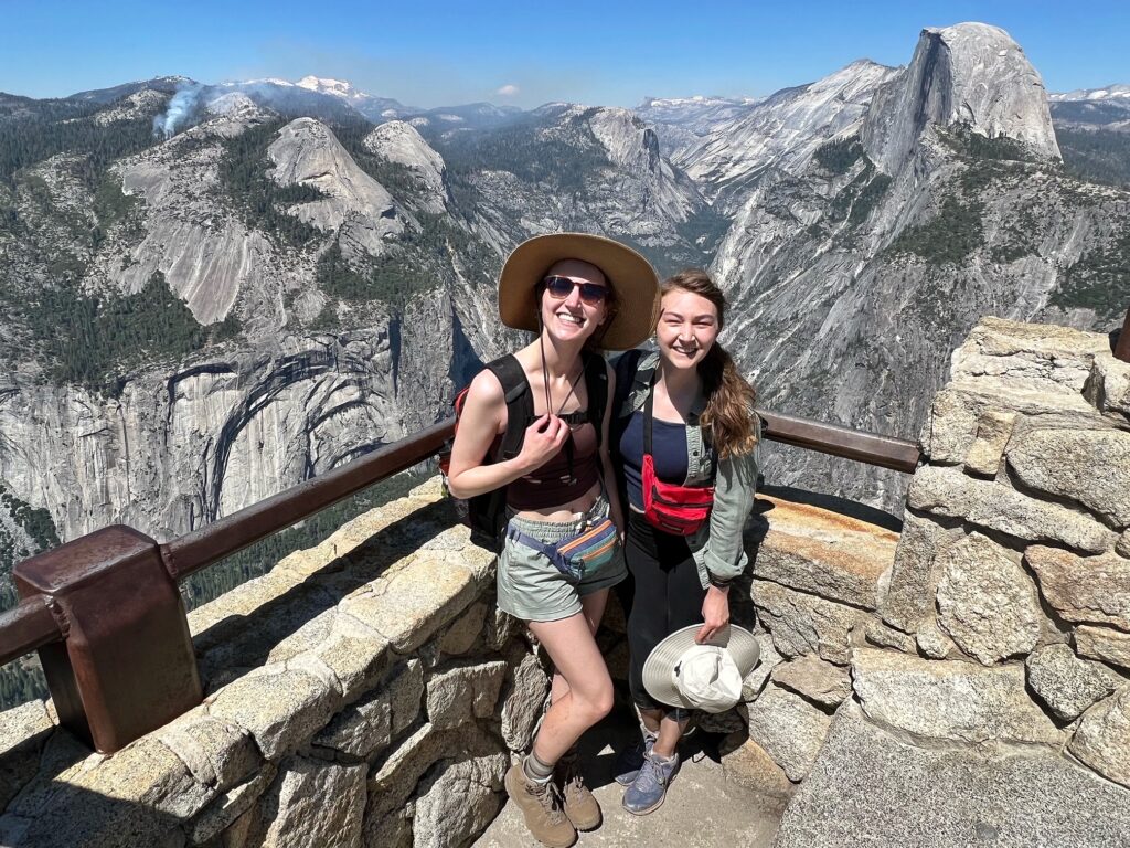
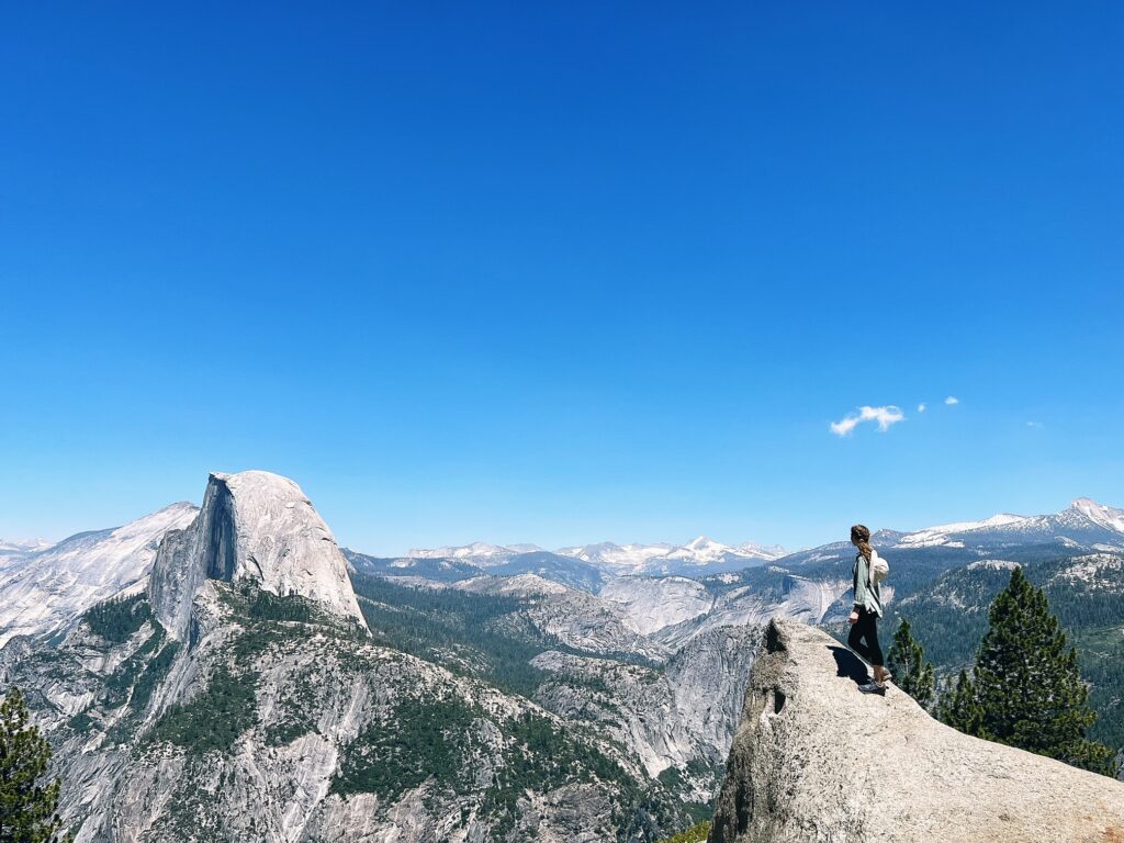
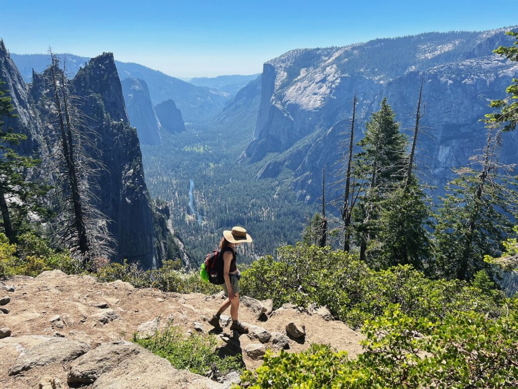
By around 2:30pm, we finally reached Glacier Point! It was a glorious moment. The road to Glacier Point was open, so it was quite busy at the top with people who had driven up (you can easily tell who drove and who climbed based on their exhaustion level, and whether or not they are wearing flip-flops). I imagine that it was much less crowded than if we were there in the morning (also the view is much better after the sun comes across the sky). We were able to eat, drink, and (best of all) sit! There is a store at the top that sells food and drinks, and there are restrooms as well. Please be aware that these facilities will not be open during the seasons where Glacier Point road is closed. Also know that these facilities do close in the evening. It is best to bring enough food and water for the entire hike instead of assuming that these can be bought at the top of Glacier Point.
When Erica and I first hiked up to Glacier Point, we completely missed the actual “Glacier Point”. Follow the signs to see this area. Don’t miss it like we did the first time we went! “Glacier Point” refers to a specific outlook area with a boardwalk of sorts.
the final down-hill (thank goodness) stretch: 4 mile trail
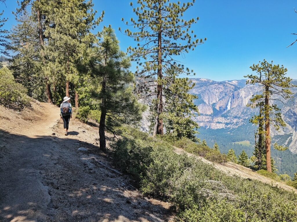
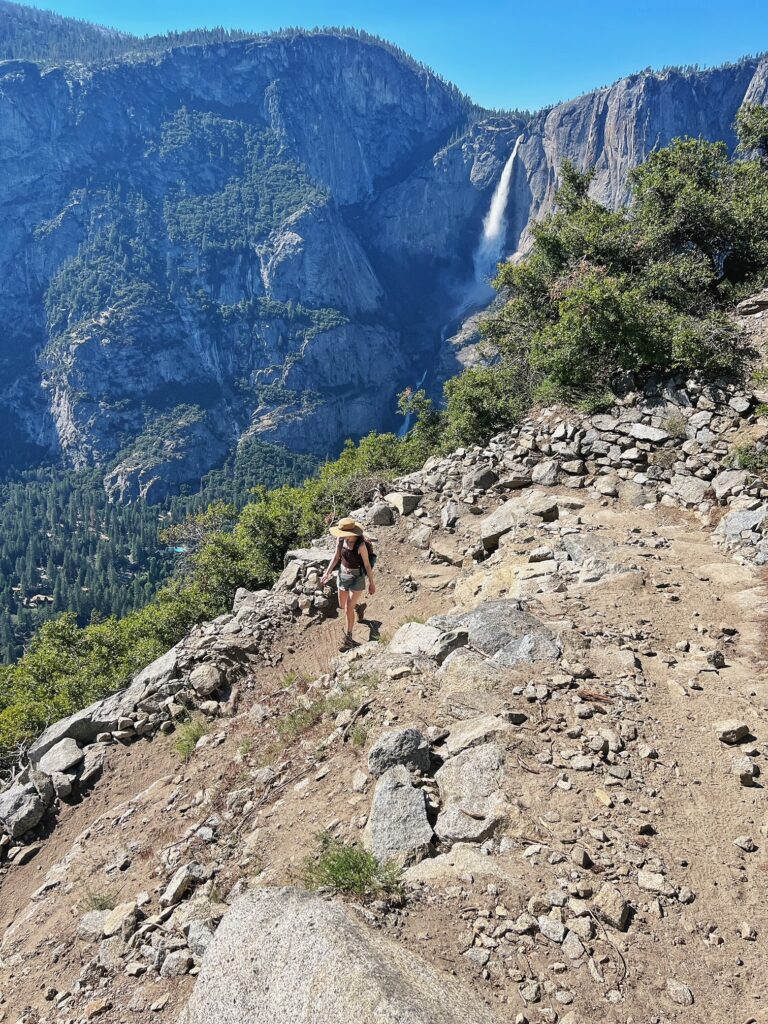
After you get all of your photos, it’s time to descend via the four-mile trail! It might be tempting to stay at Glacier Point until sunset (which I have heard is fantastic). This might be better to save for a day that you drive up because you will be walking back down in the dark (which is a bit scary considering the bears). Don’t trick yourself into thinking that this is a walk in the park since it is downhill. It is a bit brutal on the knees. It took Erica and I a little over 2 hours to get down, and we were trying to book it because we wanted to be DONE. The four-mile trail is amazing and has some lovely views of Yosemite Falls. On the day that we went, it was very dry, and, while Erica did not have any trouble, I was sliding down the sand during a lot of the trail, so tread carefully (or just don’t be like Olivia and have proper footwear).
how to best end the night after the all-day hike
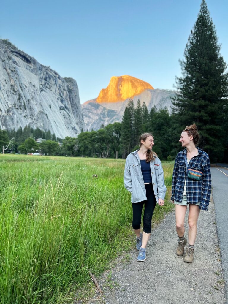
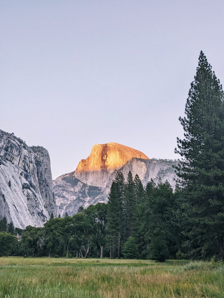
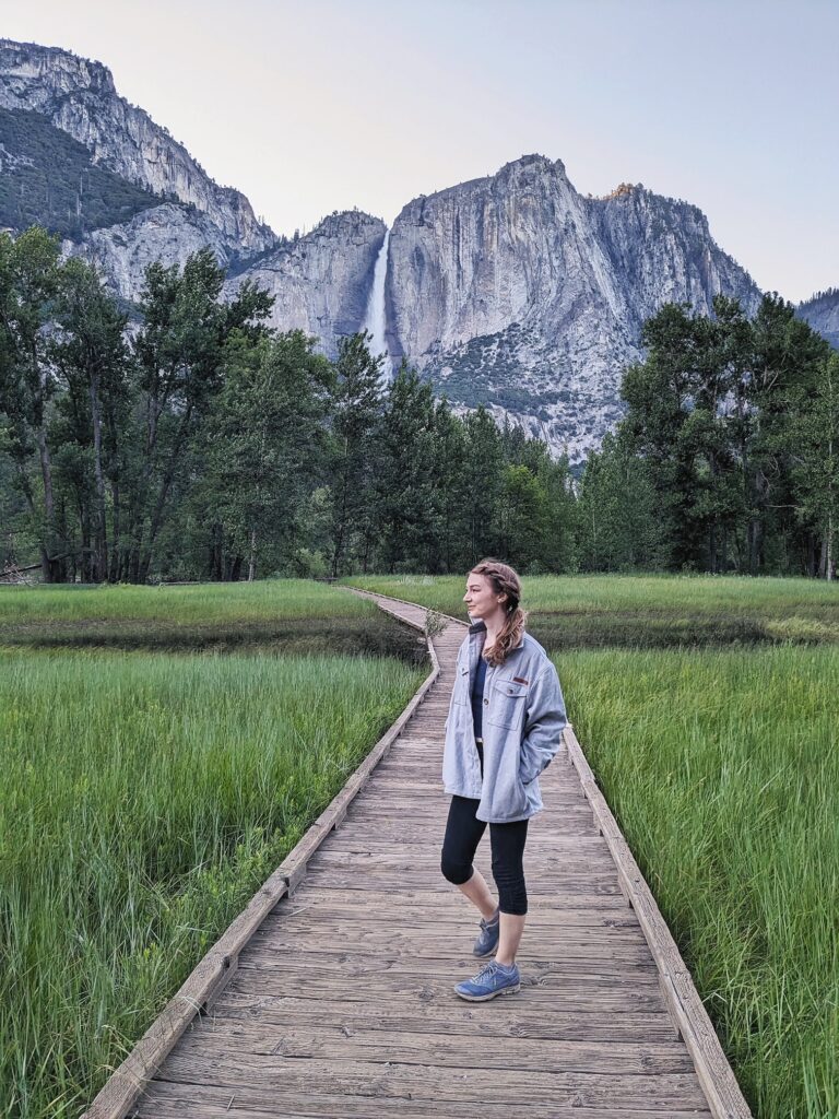
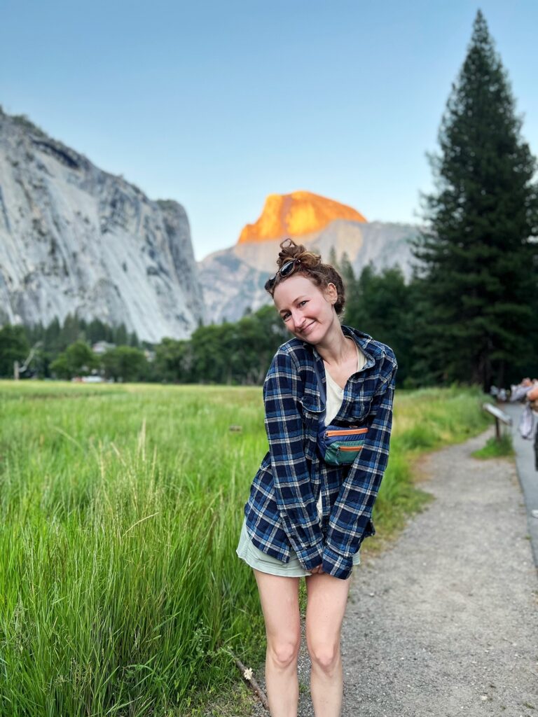
Once we reached the glorious four-mile trailhead, we took the shuttle back to Curry Village. Once there, we enjoyed some pizza and drinks. Curry Village is a great spot for dinner, and I would suggest it over the main Yosemite cafeteria. There are a lot of options and nice outdoor seating. After eating, we noticed how empty the park was (on a Saturday in July!). We took the opportunity to drive around the Yosemite loop and get some classic photos at the boardwalk and at a field near Half Dome. Evening in Yosemite is amazing and normally everyone has gone home for the day. I definitely encourage you to take advantage of those evening hours for walks and photos (even if you are super tired like we were). You will not regret it.
Well, there you have it!
One absolutely perfect day in Yosemite. We really enjoyed this trail, and I believe that it has been my favorite from the valley.
A dream of a day hike!
Try it for yourself,
and let us know what you think!
Happy hiking!
~ the scouting sisters
